
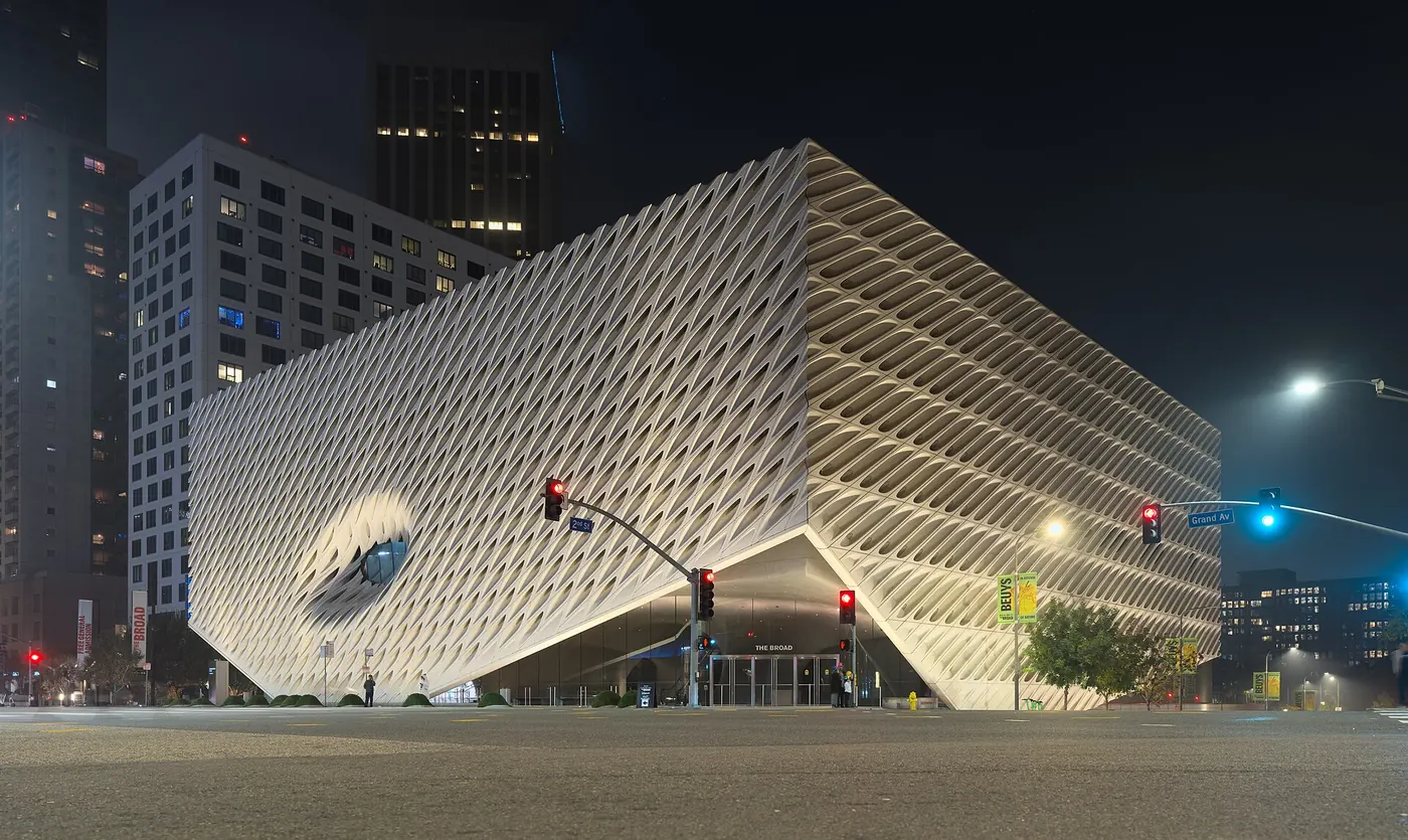
Los Angeles · United States
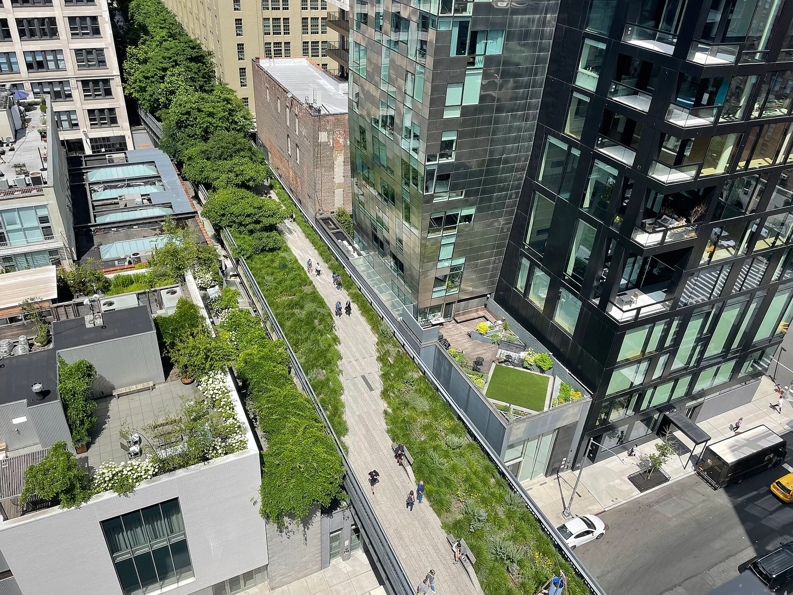 View larger
A former elevated railway converted into a public park.
The project, in context
DS+R worked with James Corner Field Operations and planting designer Piet Oudolf. The year marks the first public section; further sections opened in 2011, 2014 and 2019.
What to look for
- 01
Reuse of railway infrastructure
Read this project in context
CONTINUE EXPLORING
Related works
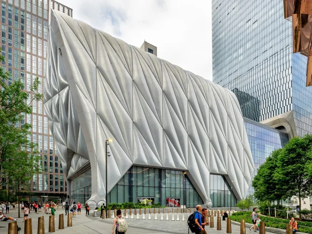
New York · United States
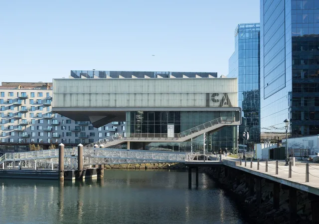
Boston · United States
GAD / DESIGN STUDY
High Line and the Choreography of Reused Infrastructure
English study · Chinese summary · · Study dated 2026-10-02
A park made in phases
The High Line occupies an elevated former freight railway on Manhattan’s West Side. Friends of the High Line credits its design to James Corner Field Operations, Diller Scofidio + Renfro and planting designer Piet Oudolf. The organisation’s fact sheet describes rail tracks reinstalled within planting beds and the characteristic benches that rise from the paving. High Line fact sheet
Its opening has several dates. The first section opened in 2009, followed by a second in 2011 and the Rail Yards in 2014; the Spur followed in 2019, and the Moynihan Connector in 2023. These later additions should not be compressed into a single 2009 completion claim. Official 2026 pocket guide
In the Rail Yards design statement, Field Operations describes a changing balance between hard surfaces and vegetation, intended to create an episodic walking experience. This is a stated design strategy rather than a measured account of visitor behaviour. Design statement
Architectural reading (interpretation)
The central transformation concerns speed and attention. Infrastructure once organised around moving freight becomes a setting in which stopping can be as important as continuing. A narrow, inherited alignment provides continuity, while shifts in planting, seating and exposure can give each segment a distinct character. The project can therefore be read as an extended sequence of invitations: look outward, enter a planted edge, sit, then resume the walk.
Its relationship with the railway is selective. Retention does not mean leaving the entire site unchanged, and a planted landscape is not automatically the same ecology that developed during abandonment. The architectural interest lies in the decisions that let an earlier use remain recognisable within a different public programme. This makes the park a useful case for examining how reuse can preserve a trace without requiring a literal reconstruction of the past.
The elevated viewpoint also changes the city’s role in the experience. Surrounding buildings and streets become material for the walk, even when they sit outside the project boundary. A small change in height can thus have consequences beyond the dimensions of a path. That observation helps explain the design’s power as a spatial precedent, but it does not establish the distribution of benefits from nearby development.
Evaluation should keep those questions distinct. The city’s own account connects the project with planning and rezoning decisions, reminding readers that the landscape belongs to a larger policy setting. NYCEDC project history Replicating the paving or planting language elsewhere would not reproduce that setting. A responsible comparison would examine stewardship, access, local needs and development policy alongside the designed route. The sources reviewed establish a built, evolving public landscape; they do not by themselves demonstrate equitable regeneration.